The Geography of Ikaria
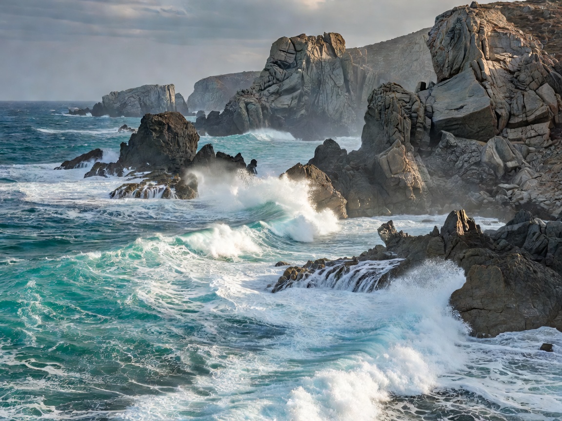
Positioned southwest of Samos and west of the Anatolian coastline, Ikaria is shaped like a knife blade resting east to west across the open Aegean. The Atheras mountain ridge (Mount Pramnos) forms the dorsal spine of the island, dividing it climatically into a lush, pine-forested northern face and an austere, vertical southern face plunging into radioactive thermal marine waters around Therma.
During the Byzantine and early Ottoman centuries, Ikaria endured unrelenting raids by Mediterranean pirates. Rather than fortifying coastal towns, the population retreated into the interior highlands, developing what architectural historians designate as "anti-pirate houses" (chosto-spita). These dwellings were constructed underneath massive granite boulders without chimneys or visible windows, disguised so completely that approaching naval crews assumed the island was deserted.
Panigiria: Community Fellowship and Time Inversion
Life on Ikaria has attracted widespread demographic study due to its status as a recognized Blue Zone, where a high percentage of residents reach nonagenarian and centenarian ages in good health. While nutritional factors—including wild herbal infusions, raw goat milk, and home-fermented Pramnian red wine—play an essential role, sociologists emphasize the psychological impact of communal solidarity.
This solidarity culminates in the panigiria: traditional saint's day feasts organized collectively by village volunteer committees throughout the summer months. Beginning after evening religious observances and continuing past dawn, thousands of residents and travelers dine together on boiled goat stew and unfilted wine while dancing the hypnotic Ikariotikos to live violin and lute ensembles.
"In interior villages like Christos Raches, shopkeepers traditionally opened storefronts only after 10:00 PM, maintaining a diurnal rhythm detached from standardized clock time. The practice prioritizes agricultural labor during cool twilight hours over commercial deadlines."
Fourni Korseon: The Pirate Fjords
Just east of Ikaria lies Fourni Korseon, an archipelago of thirteen minor islands, islets, and submerged reefs. In antiquity and the Middle Ages, Fourni served as a notorious pirate haven due to its intricate coastline composed of dozens of deep, wind-sheltered inlets that hid sailing vessels from open Aegean patrols.
Marine archaeologists have discovered over fifty ancient and medieval shipwrecks in the waters surrounding Fourni, confirming its role as a vital intersection along ancient Black Sea and Levant trade routes. Today, Fourni maintains one of the largest small-scale coastal fishing fleets in Greece, supplying fresh Mediterranean lobster and scorpionfish across the regional markets.
Field Trade-offs & Transportation Realities
Reaching Ikaria and Fourni involves navigating open-sea shipping lanes known for powerful north winds during July and August.
Unique Merits
- Absence of luxury resort homogenization and commercial beach concessions.
- Therapeutic radon-rich thermal spring baths at Therma and Lefkada.
- Exceptional mountain hiking trails through ancient oak forests (Ranti Forest).
- Fourni harbors offer peaceful waterfront dining free from mega-yacht marinas.
Logistical Obstacles
- Severe crosswinds at Ikaria's northern coastal airport (JIK) can delay flights.
- Roads between north and south involve steep mountain passes with unpaved stretches.
- Villages operate on late, unpredictable schedules; morning service can be minimal.
- Ferry crossings between Ikaria and Fourni are dependent on local weather calls.
Regional Gastronomy: Longevity on the Plate
Dining in Ikaria centers on garden-fresh staples, legumes, and foraged wild plants. The centerpiece of autumn meals is soufico, a slow-stewed vegetable dish combining garden courgettes, eggplants, bell peppers, tomatoes, and potatoes cooked down with generous measures of cold-pressed olive oil. Meals are paired with dark, high-tannin Pramnian wine, cultivated on terraced schist slopes since the time of Homer.